Surveying has been an essential part of human civilization for centuries. From ancient civilizations using basic tools to modern-day technological advancements, surveying has played a crucial role in shaping our world. And with the rapid development of geospatial technology, the future of surveying is set to be revolutionized.
In this article, we will explore the latest surveying tools and technologies that are changing the game and shaping the future of surveying.
The Evolution of Surveying Tools
Surveying has come a long way from the days of land surveyors using basic tools like chains and compasses. The introduction of electronic distance measurement (EDM) in the 1950s revolutionized the industry, making it faster and more accurate. The 1970s saw the introduction of the first total station, which combined EDM with electronic theodolites, further improving accuracy and efficiency.
Geospatial Technology Takes Over
The 1990s saw the rise of geospatial technology, which uses satellite imagery and GPS to map and measure the Earth’s surface. This technology has greatly improved the accuracy and speed of surveying, making it possible to map large areas in a fraction of the time it would have taken with traditional methods.
Today, geospatial technology continues to evolve, with advancements in satellite imagery, GPS, 3d laser scanning, and point clouds. These technologies have opened up new possibilities for surveying, making it more efficient and accurate than ever before.
The Future of Surveying Technology
The future of surveying technology is set to be even more revolutionary, with the introduction of new tools and techniques that will change the way we survey our world.
Drone Surveying
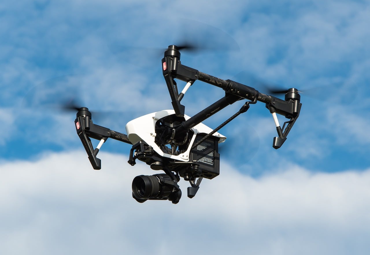
Drones are becoming more and more apparent in the survey industry. At first, they were just used for photogrammetry. Which is the art, science, and technology of gathering data through photos and interpreting real world assets required in civil engineering.
The very first photogrammetry mission was completed in 1917 by the US Geological Survey, who mounted a camera to the bottom of an airplane. It wasn’t until 1995 that cameras began being mounted to drones and were used in the military. Then in 2009, DJI produced the very first commercial drone equipped with a high-resolution camera, beginning the photogrammetry age in Survey. While photogrammetry is still very important, LiDAR has been the next big thing in the drone world.
In 2016, the FAA released a rule allowing the use of commercial drones to attach LiDAR payloads. LiDAR or Light Detection and Ranging is the process of using pulsed lasers to measure ranges and effectively create 3D scans. Drones equipped with high-resolution cameras and LiDAR (Light Detection and Ranging) sensors can capture detailed images and data of large areas in a short amount of time.
This technology is particularly useful for surveying hard-to-reach or dangerous areas, such as construction sites, mines, and disaster zones. It also allows for more frequent and accurate surveys, providing real-time data for better decision-making.
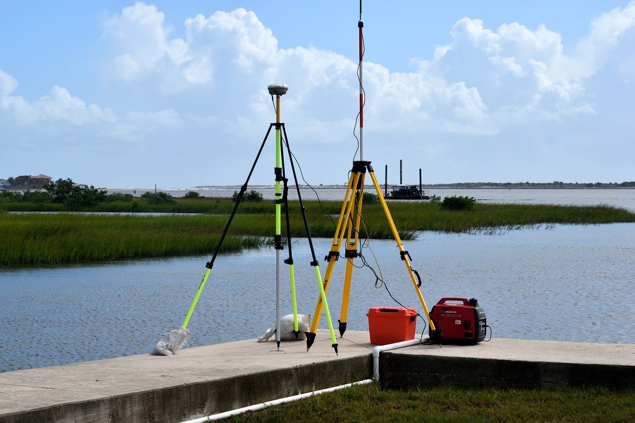
GPS Surveying
GPS technology has been a game-changer in surveying, and it continues to evolve. The latest GPS surveying tools use real-time kinematic (RTK) technology, which provides centimeter-level accuracy in real-time. This allows surveyors to work faster and more accurately, even in challenging environments.
Laser Scanning
Laser scanning, also known as LiDAR, is another technology that is transforming the surveying industry. This technology uses laser beams to measure distances and create 3D models of objects and environments. It is particularly useful for surveying large areas and capturing detailed data, making it a valuable tool for infrastructure projects, urban planning, and environmental monitoring.
The Benefits of Advanced Surveying Technology
The advancements in surveying technology have numerous benefits, including:
- Increased accuracy: With the use of advanced tools and techniques, surveyors can achieve higher levels of accuracy, reducing the margin of error and improving the quality of data.
- Time-saving: The use of drones, GPS, and laser scanning allows surveyors to cover larger areas in less time, making the surveying process more efficient and cost-effective.
- Improved safety: With the use of drones and other remote surveying tools, surveyors can avoid dangerous or hard-to-reach areas, reducing the risk of accidents and injuries.
- Real-time data: The use of advanced technology provides real-time data, allowing for better decision-making and faster response times.
Scanning Technology in Real Life
Recently, we had the privilege of attending the Trimble Dimensions Conference, an event that showcased the cutting-edge technologies shaping the future of surveying. One of the standout moments was our kickoff meeting with Mark Gallagher, an executive in Formula One with a background in managing racing teams. His insights into how survey technology transformed the Las Vegas Raceway were truly eye-opening.
The Formula One team faced a daunting challenge: converting Las Vegas into a Formula One racetrack within 18 months. Using mobile scanning and terrestrial scanning, they created a comprehensive point cloud of Las Vegas. This allowed them to design the course, conduct survey layout, and even pave parts of the track just days before the race. The seamless integration of survey technology was instrumental in achieving this massive undertaking.
The Role of Artificial Intelligence in Surveying
Artificial intelligence (AI) is another technology that is set to revolutionize the surveying industry. AI-powered tools can analyze large amounts of data and identify patterns and trends that would be difficult for humans to detect. This can help surveyors make more informed decisions and improve the accuracy of their work.
AI can also be used to automate certain tasks, such as data processing and analysis, freeing up surveyors to focus on more complex tasks.
Challenges and Limitations
While the advancements in surveying technology are exciting, there are still some challenges and limitations that need to be addressed.
Cost
The latest surveying tools and technologies can be expensive, making it difficult for smaller companies to invest in them. However, as technology continues to evolve, we can expect to see more affordable options in the future.
Training and Education
With the introduction of new tools and techniques, surveyors will need to undergo training and education to keep up with the latest advancements. This can be a challenge for some, but it is essential to ensure the accuracy and effectiveness of surveying.
For students pursuing surveying, a solid foundation in technology, mathematics, and a passion for the outdoors are essential. Understanding construction processes and the full surveying workflow, from design to completion, will prepare them for the dynamic landscape of the industry.
Data Management
The use of advanced technology means that surveyors are collecting more data than ever before. This can be overwhelming and challenging to manage, making it crucial to have efficient data management systems in place.
The Future is Here
The future of surveying is already here, and it is constantly evolving. With the use of advanced tools and technologies like drones, GPS, and laser scanning, surveyors can achieve higher levels of accuracy, efficiency, and safety. And with the integration of AI, we can expect to see even more advancements in the coming years.
The Importance of Embracing Change
As with any industry, it is essential to embrace change and adapt to new technologies to stay ahead of the competition. Companies that invest in the latest surveying tools and techniques will have a competitive advantage, as they can provide more accurate and efficient services to their clients.
The Future is Bright
The future of surveying is bright, with endless possibilities for innovation and growth. As technology continues to evolve, we can expect to see even more advancements in surveying, making it faster, more accurate, and more efficient than ever before.
Conclusion
The surveying industry has come a long way, and with the rapid development of geospatial technology, the future is set to be even more revolutionary. With the use of advanced tools and techniques like drones, GPS, and laser scanning, surveyors can achieve higher levels of accuracy, efficiency, and safety. And with the integration of AI, we can expect to see even more advancements in the coming years. It is essential for companies to embrace these changes and invest in the latest surveying technology to stay ahead of the competition and provide the best services to their clients. The future of surveying is here, and it is an exciting time to be a part of this industry.

Tim Devaney, LSIT
As McClure’s Survey Team Leader, Tim is responsible for maintaining a high level of customer communication and satisfaction from both the office and field survey sites. He possesses leadership skills and the ability to problem-solve job site issues to effectively communicate with clients and contractors. Tim has extensive experience in both private and public construction projects as well as engineering design projects of all sizes. He has a strong knowledge and understanding of field staking procedures for land surveying, construction staking, and existing conditions survey. In addition, Tim has knowledge in all aspects of earthworks, foundation construction, wall construction, site utilities, and paving.

Keefer Thurman
Keefer serves as a Crew Chief with five years of surveying experience and has worked on various construction staking, boundary, topographic, geospatial, and photogrammetric surveys. He has a BSME degree from Iowa State University – College of Engineering and is a licensed Part-107 UAS Pilot. Throughout his experience, he has flown over 50 sites and 200 hours with a DJI Matrice 300. Some of his past construction projects include SEP High School Football Stadium and Jack Trice East Pedestrian Bridge.
Learn More
Learn more about McClure’s Survey services or contact us at info@mcclurevision.com.