Survey

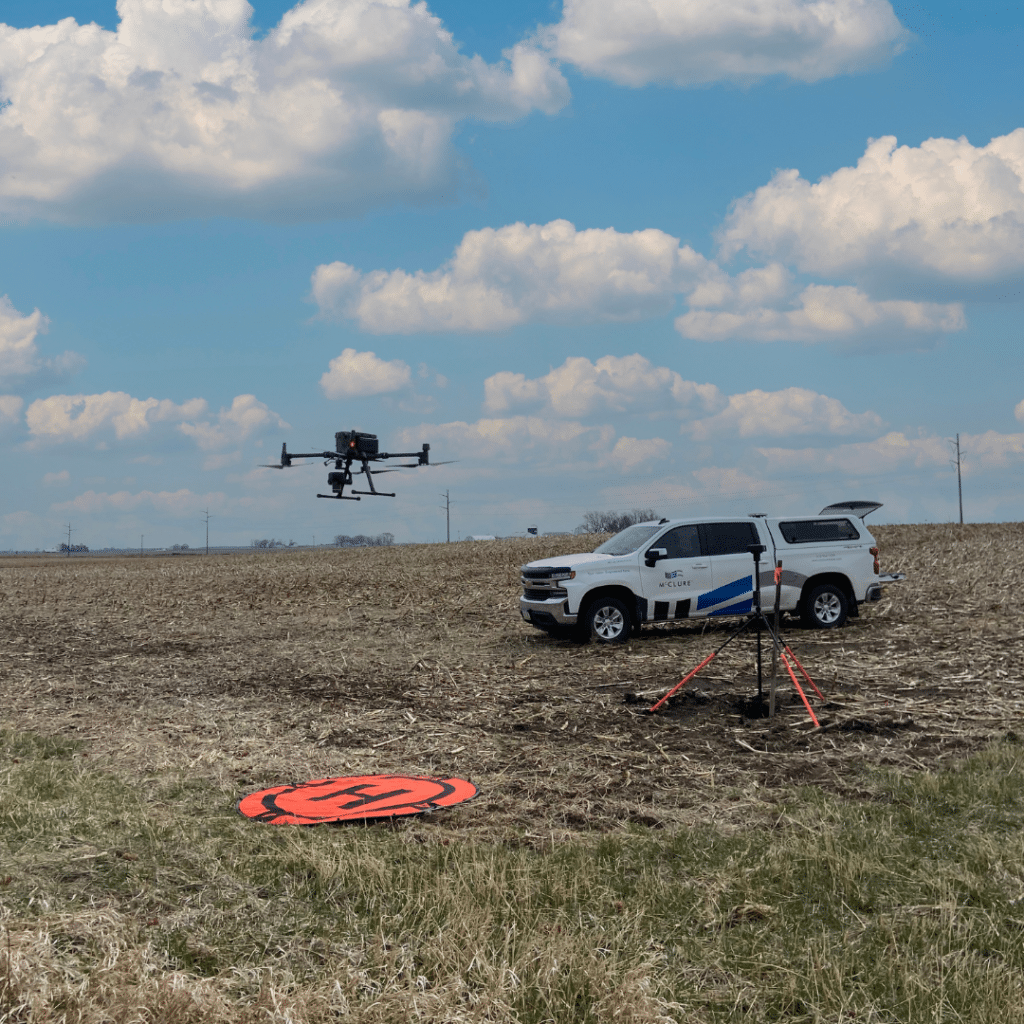
Drones: Surveying our World from Above

Drones, also known as unmanned aerial vehicles (UAVs), have become increasingly popular in recent years. While they are often associated with recreational use and aerial photography, drones also have a significant impact on various industries, including surveying and engineering.

In this article, we will explore the use of drones in surveying and how they are revolutionizing the way we gather data and map the world around us.

Drone flying in a field

The Future of Surveying Technology Unveiled

Surveying has been an essential part of human civilization for centuries. From ancient civilizations using basic tools to modern-day technological advancements, surveying has played a crucial role in shaping our world. And with the rapid development of geospatial...

Q & A with Kelly Williams

Kelly Williams is a Survey Crew Chief out of McClure’s Ankeny Office. Williams started as an intern, working in the summers of 2020 and 2021 before transitioning to a full-time Crew Chief position in 2022. In honor of National Surveyors week, let us get to know...

Colin Cooper Joins McClure

NORTH KANSAS CITY, MISSOURI, March 17, 2023 – Colin Cooper has joined McClure’s Survey team as an Engineering Technician. Before coming to McClure, Cooper worked for TriMark Hockenbergs as a Designer I, designing commercial kitchens for restaurants, schools, and...

McClure: Rooted in Land Surveying

https://vimeo.com/583056768 McClure was founded by Jon McClure in 1956, but more than half a century earlier, Dan’l Tuttle (not a typo – his name was spelled that way) started a survey company in downtown Kansas City in 1885. Kansas City was only about 20 years old...